Berkeley Seismological Laboratory: Sound science, serving society
Standing nearly on top of the Hayward Fault, the Berkeley Seismological Laboratory (BSL) provides robust hazard information while engaging in essential geophysical research. Throughout the BSL's long history of innovation (described below), beginning with the 1897 installation of the first seismograph in the western hemisphere, our commitment to probing the Earth's deepest secrets has remained unchanged.
Mission of the BSL
We conduct essential research on earthquakes and solid earth processes while collecting and delivering high quality geophysical data.
We provide robust earthquake and hazard information including real-time alerts to the public, in collaboration with our partners.
We enable the broad consumption of earthquake information by everyone while educating and training students at all levels and from all backgrounds.
History
Origins
Seismology at UC Berkeley initially grew out of astronomy. Edward S. Holden was both President of the University (1885-1888) and Director of Lick Observatory at Mt. Hamilton (1888-1897). He considered it essential "to keep a register of all earthquake shocks in order to be able to control the positions of the astronomical instruments". The first reported record is a local earthquake on April 24, 1887. President Holden apparently became interested in earthquakes for their own sake, publishing an earthquake catalog and collaborating with eight other sites (including Chabot Observatory and Mills College in Oakland) to create a ten station "California System". When Holden retired from the Directorship of Lick Observatory in 1897, however, the system gradually began to disintegrate.
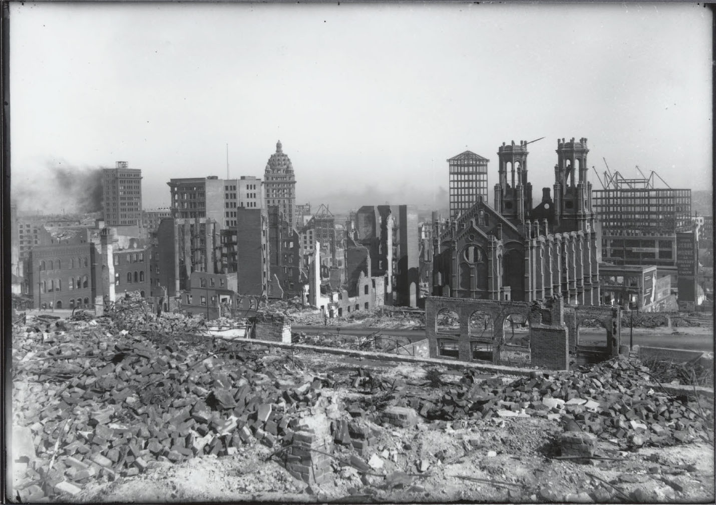
1906 Earthquake
The 1906 earthquake revolutionized seismology in California. The post-earthquake investigation involved most members of what was then the Department of Geology at the University of California.
The Cold War
Just as the 1906 earthquake illustrated the need for updated seismic instrumentation, the negotiations for a nuclear test ban treaty in the late 1950s and early 1960s motivated the upgrade of US seismology programs.
As a result of funding from the Defense Advanced Research Projects Agency, a tunnel was driven into the Berkeley Hills (behind the Botanical Gardens) to establish a quiet recording vault. The Berkeley Byerly station became a site within the newly designed Worldwide Standard Seismographic Network instruments in 1959.
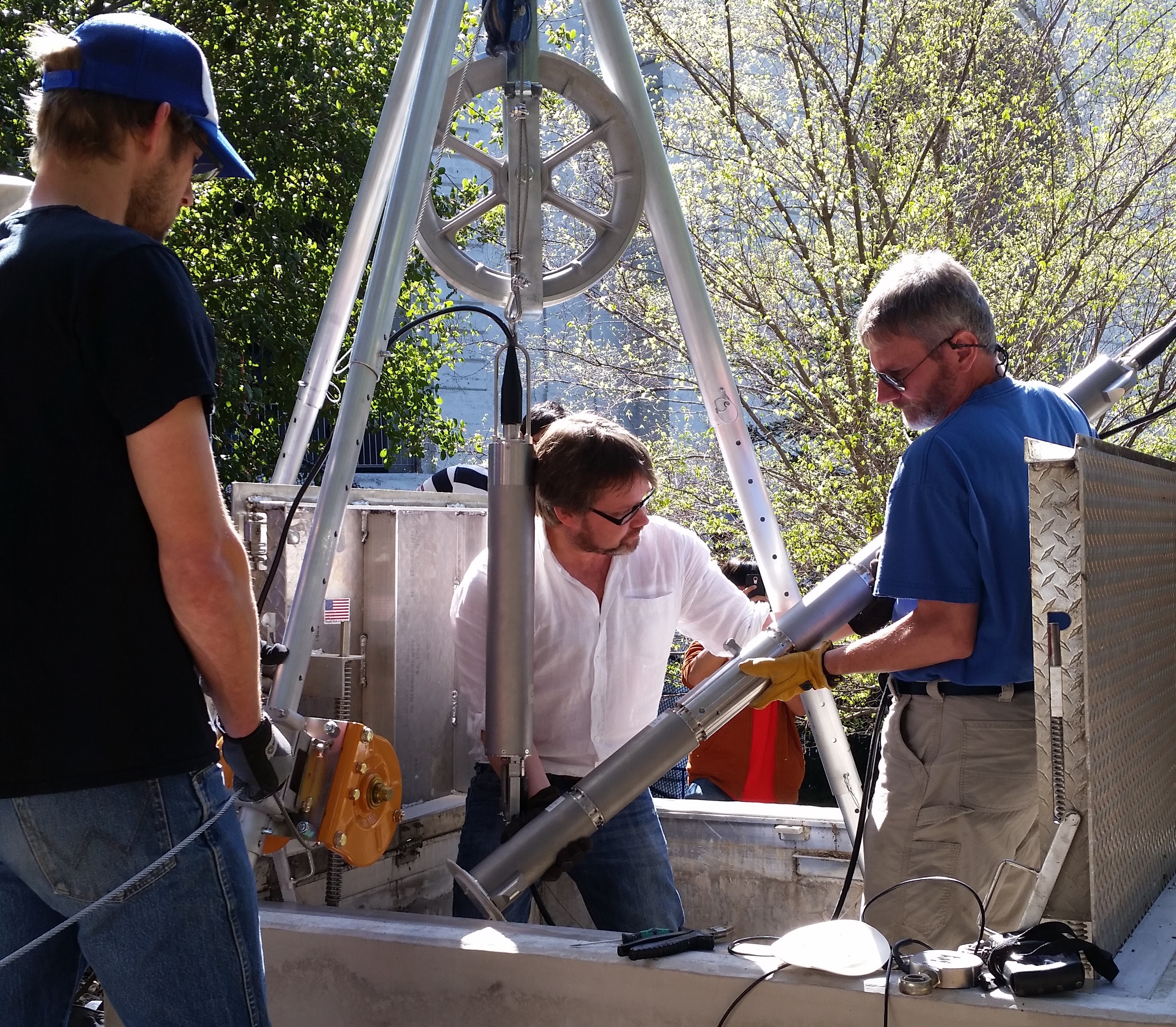
In addition to the upgraded campus facilities, the Berkeley Seismographic Stations developed the first network of telemetered regional stations in 1961. Consisting of short-period Benioff seismographs (an example is on display in the BSL conference room on the 2nd floor) with continuous data transmission to UC Berkeley over phone lines, the data were recorded on processed film and paper helical strips (aka helicorders). In the mid-1980s, the faculty and staff of the Seismographic Stations deployed the first broadband seismometers in California at Columbia College, Lick Observatory, and the San Andreas Observatory in Hollister. Digital recording was introduced in 1986 at a few sites. In parallel, the Parkfield Prediction Experiment permitted the establishment of a dense network of borehole seismometers to study the seismicity of the San Andreas fault at Parkfield.
Loma Prieta
The 1989 Loma Prieta earthquake also provided an opportunity to advance seismic monitoring. Most of the instrumentation in Northern California at that time represented 1960s-age technology and the sensors were limited in their ability to record the full range of ground motion. In particular, the network lacked the ability to continue operating when local power was disrupted, and to record data locally when telecommunications failed. As a consequence, only the most distant stations operated by the Seismographic Stations recorded the Loma Prieta earthquake with fidelity. Communication links and power failed at several sites, resulting in loss of data. The Seismographic Stations provided a preliminary location and magnitude of the Loma Prieta earthquake within 30-45 minutes, but could provide little additional information to emergency response operators and the press.
Today
Since 1991, the Berkeley Seismological lab has been able to upgrade and expand its monitoring efforts in Northern California, in terms of enhanced instrumentation,